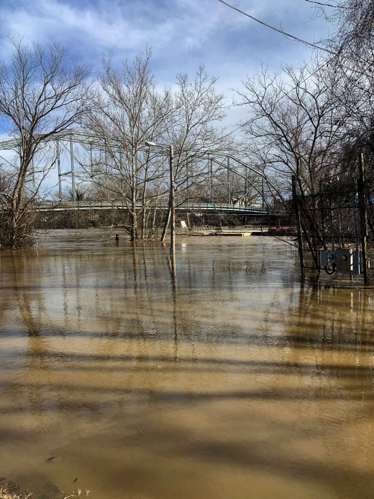
The National Weather Service is predicting that the Kentucky River will crest at 39.7 ft. the evening of March 3, 2021. Flood stage begins at 31 ft.
The Frankfort/Franklin County Emergency Operations Center is coordinating our local response to this event. Citizens with questions or concerns relating to this flooding can call (502) 352-2252
Impact on Franklin County Solid Waste: CKY Hauling has reported that they were unable to collect trash & recycling from residents on Stoney Creek, Stoney Creek N, Benson Valley due to flooding. They will resume collection in these areas as soon as conditions allow.
Flood stage IMPACT –
51.5 ft. - Water reaches the top of protection in South Frankfort.
51 ft. - Water reaches the top of protection in North Frankfort.
48 ft. - Areas outside of floodwall are covered. Many county roads are closed.
43 ft. - Bellepoint is cut off. Indian Gap Road, Bates Road, and River Valley Road flood. Water Plant is affected. Water crosses Wilkenson Blvd. at Reilly Rd.
40 ft. - Paul Sawyer Drive, East Second Street, East Fourth Street and Admirals Landing flood. The entrance at McDonald Ferry Road floods. The campground at Steele Branch Road is closed. Warehouses along Great Buffalo Trace Rd. flood.
38 ft. - KY 420 (Old Lawrenceburg Road) closes. Wilkerson Street, Watson Court, Wilson Street, and Kentucky Avenue flood. Many basements of homes flood.
37 ft. - Taylor Avenue floods near quarry. Swallowfield Road floods at Bates Road.
36 ft. - Travis Circle, Onans Bend Road, and Polsgrove Road flood.
33 ft. - Steele Branch Road floods at dead end. Stoney Creek Road closes.
31 ft. - Benson Valley Road floods. Water approaches Stoney Creek Road.
27 ft. - Lewis Ferry Road floods.
24 ft. - North Stoney Creek Road floods.